The Overland version of the Trans Wisconsin Trail has become increasingly popular in the last couple years. This page is intended to share some information on the route to help make your trip better.
The Trans Wisconsin Adventure Trail was originally designed for dual sport and adventure bikes. The route is 600-630 miles long and consists of paved roads, gravel roads and dirt / sand forest roads. The route starts on the Wisconsin / Illinois border just north of Galena Illinois and ends at Lake Superior near the town of Cornucopia. It is approximately 50% pavement, 40% gravel roads and 10% dirt/sand forest roads.
Here is what you need to do the overland route:
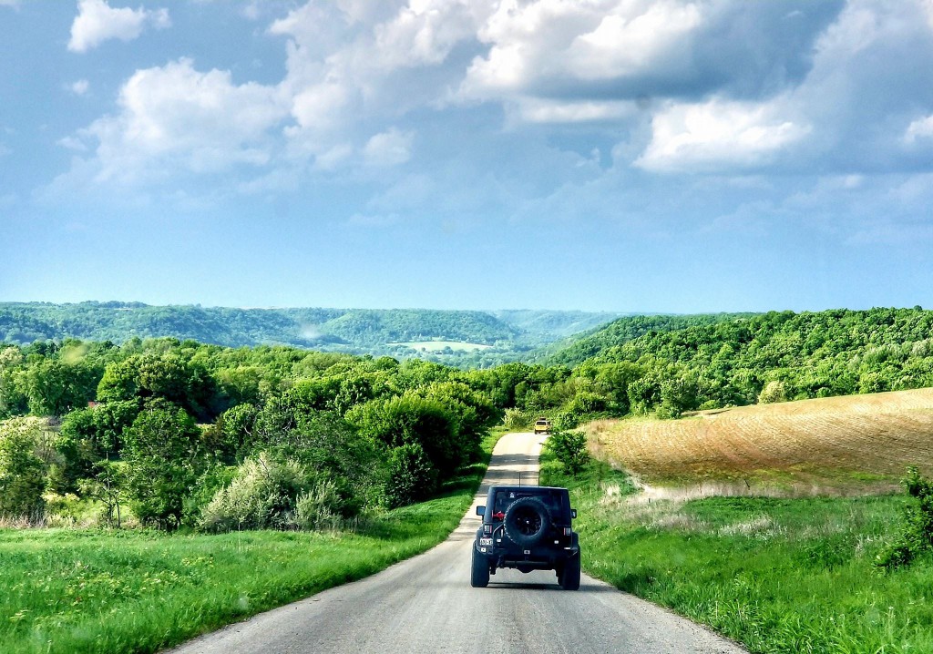
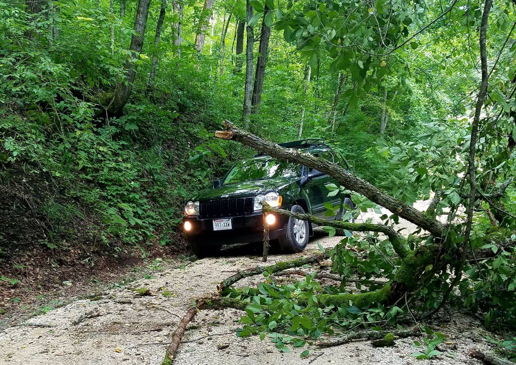
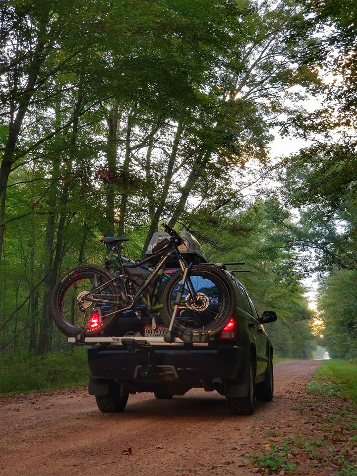
Vehicle – This route is on all public roads, so any street legal vehicle is an option to do this. You do need a vehicle that has decent ground clearance and 4 wheel drive isn’t usually needed but it can come in handy. If you have an “Overland vehicle” and are looking to test it out, this route will not be challenging, but it is a great low impact trip to get your rig out and test it and make sure everything works the way you want. Its a really nice scenic drive with a lot of options to keep you and your passengers entertained.
GPS or map – To navigate the route you will need either a GPS with the route loaded or a map with the route highlighted. Since there are no maps available with the route on them, you will still need to download the GPS file and open it up in a program like Google Earth and and trace the route onto a map. My suggestion is to use a GPS to navigate the route, and carry a map with as backup and also to use to find other local attractions. With a route this long, using a map is a pain in the neck, a GPS makes life so much easier, although a map is an opportunity to use a passenger as your navigator.
Keep and eye out for a GPS page on this blog with tips and info on using a GPS.
Tip: Take a good look at where the route goes, and notice how close you are to other attractions. This route was designed to go from south to north while sticking to roads that went in the right direction. There are a lot of dead end roads that are fun to explore, some forest roads that don’t really go anywhere, but are a fun drive and also other things like mountain bike and hiking trails, waterfalls, nice city and county parks, etc. This route is just a suggestion to get you out exploring, its up to you create the adventure!
FAQ:
How difficult is this route? Its pretty easy on 4 wheeled vehicles. The difficult parts for motorcycles are the ATV trails, most of which aren’t legal for automobiles and not on this version of the route and the sand traps, which are easy on 4 wheels.
What kind of vehicle can do this? Nearly any vehicle with decent ground clearance will be able to do it. 4 wheel drive usually isn’t needed on the actual route, but due to the rough roads, decent ground clearance and careful tire placement is often essential. Most AWD cars, SUV’s, trucks etc will work. I don’t want people thinking that this is a fully off road route that will challenge a lifted 4 wheel drive vehicle, it’s not.
Do I need Permits or stickers for this? No, this is all on public roads, all you need is valid registration for your vehicle and whatever else that is required to drive on public roads.
How long will this take? For most people, you will be able to do the actual route in a couple days. Of course, you can take as long as you want and explore!
Can I do this on an ATV? Nope, only street legal vehicles.
How do I get the GPS file? You can email me, but its easier to just download it off my Dropbox. The link will be posted here:
https://www.dropbox.com/sh/p25yxuqo08tlwtz/AABUDZwAhZD4wmfwggCKlAc5a?dl=0
Can I buy a map? Nope, see the GPS/Map section above
Is there trail markers or signs I can follow? No, this is an unofficial route that has a GPS file to navigate you to a suggested route.
Camping or hotels? Whichever you choose, but I prefer camping. This is a great opportunity to get away from it all and get some fresh air and see the stars and test out that overland rig. The further north you go, the better and more remote campsites get. There are a lot of options for private, public and national forest campgrounds. Hotels, where there is no shortage of hotels and resorts along the route. The resorts sure can use the business, as its a tough industry to be in, so they would love to have you!
Be prepared for DEEP sand, ruts, mud, dust, livestock in the road, horse and cow manure, deer, bears, porcupines, possums, turkeys, logs, low hanging branches, barbed wire, drunk or distracted drivers, bear hunters running dogs, logging trucks, ATV’s, rednecks, amish, bad roads, no roads, lakes, streams, washouts, police, sharp unmarked corners, etc. Be aware you can die at any point along this route, regardless of your skill level.
Oh yeah, HAVE FUN!


